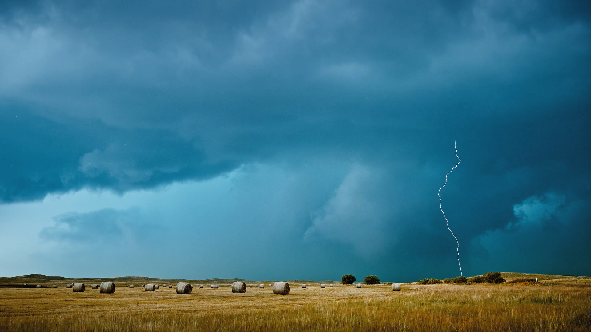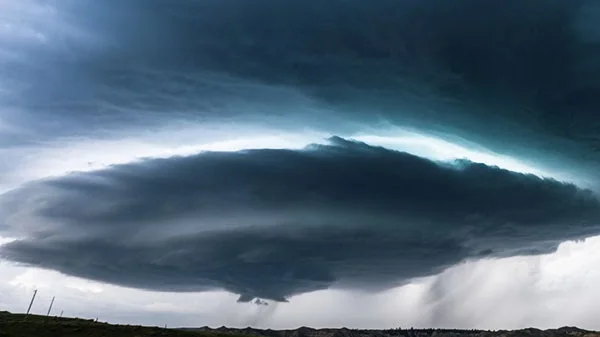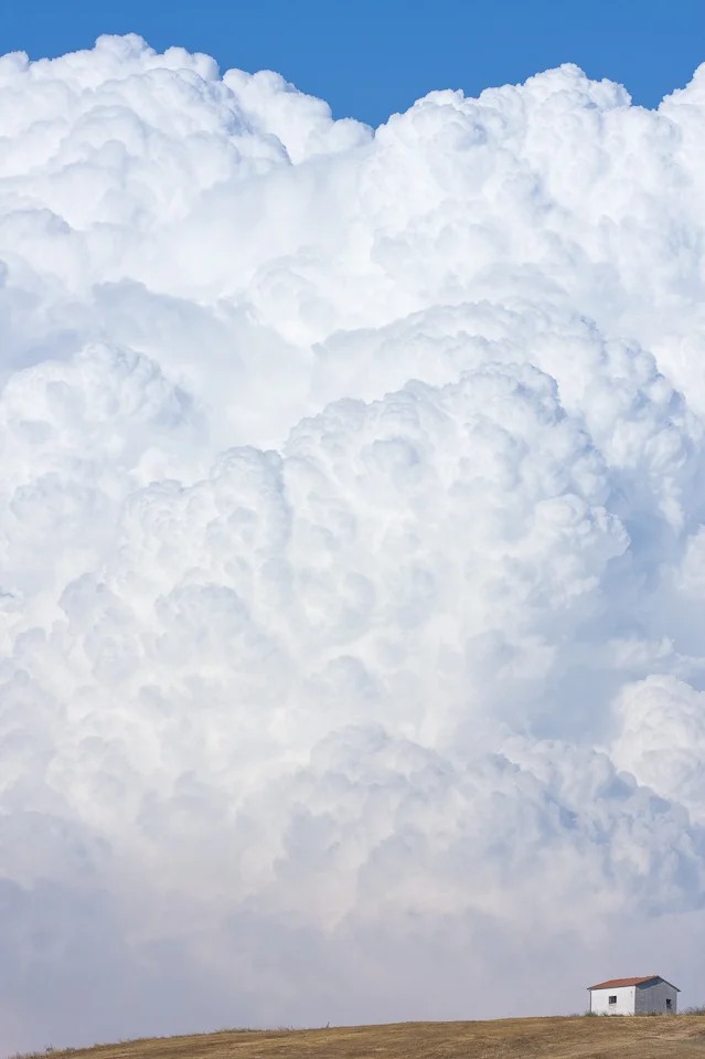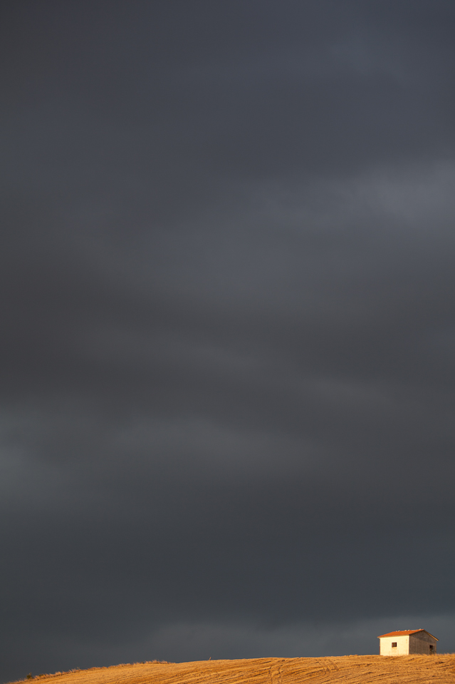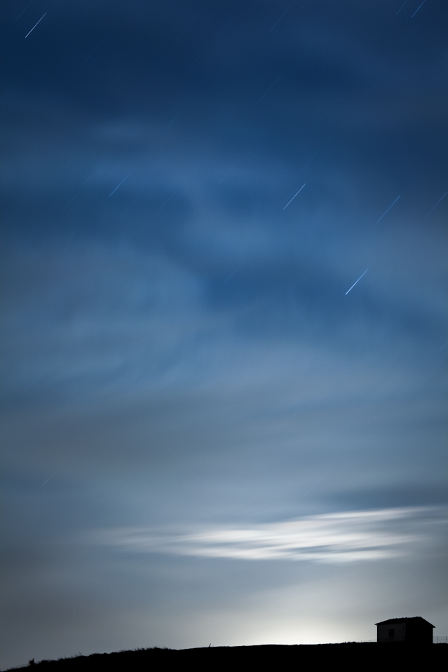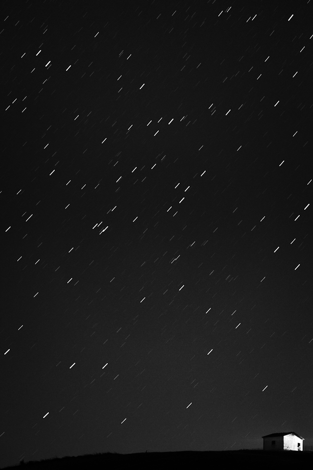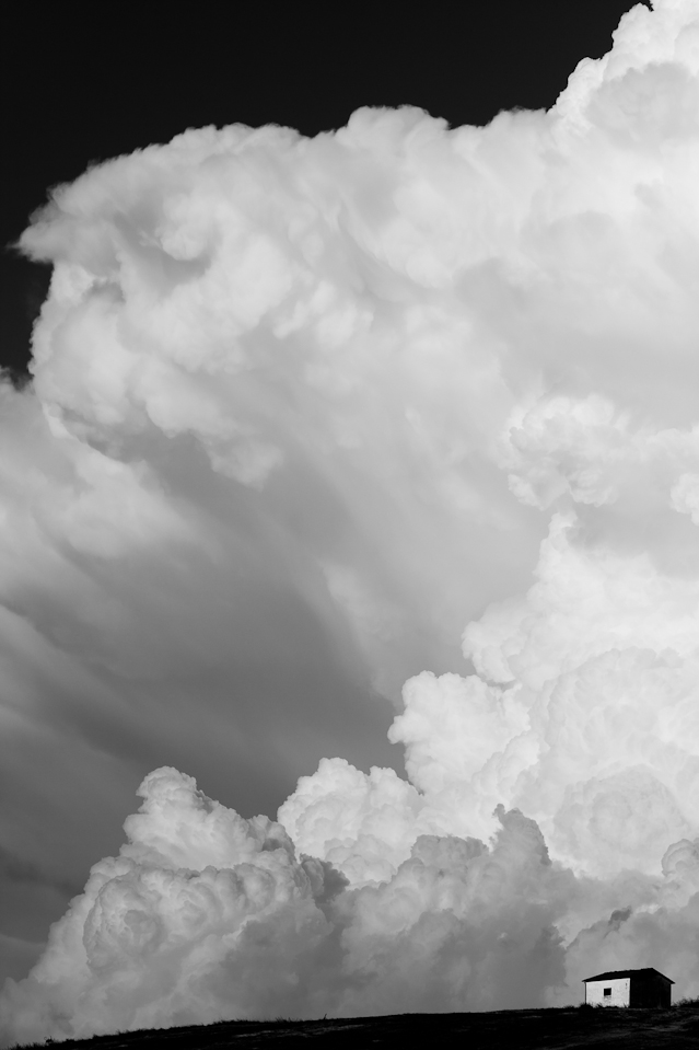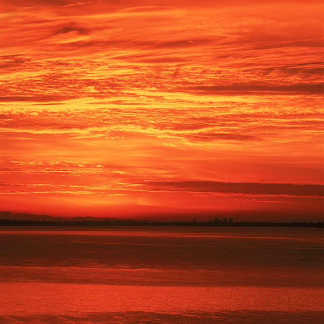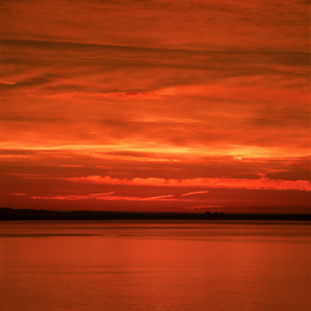
Director of Photography Dustin Farrell (http://dfvc.com) created this compilation of the best of his storm chasing video from the summer of 2017.
And it is achingly gorgeous....
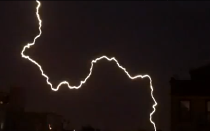
"Lightning is like a snowflake. Every bolt is different. I learned that lightning varies greatly in speed. There are some incredible looking bolts that I captured that didn't make the cut because even at 1000fps they only lasted for one frame during playback. I also captured some lightning that appear computer generated it lasted so long on the screen."